There’s been a lot of anticipation in the subseasonal forecast about whether the bitter air of late December and early January will make a cameo. Over the last two weeks, there’s been at least one false alarm, a couple of theories and even some random hunches. This obviously has major implications for heating demand across North America, in addition to prolonging the winter into March.
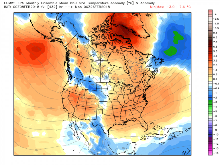
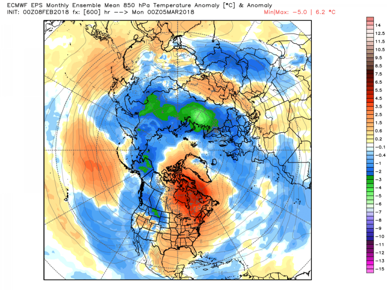
Thus far, the European Weeklies haven’t taken the bait. Today’s run of the model still keeps the idea of mild air across the Northeast US and Southeast Canada. In fact, the cold seems limited in scope and depth all across the Western Hemisphere, with the exception of the North Atlantic.

The question remains: is this our last chance at sustained cold for the winter? Or could March see a return of below normal temps?
It’s always been my theory that March can and does behave like a winter month, and this year it seems primed to do just that. If we saunter through the remaining weeks of February with above normal temperatures, it seems that we could slip back into the deep freeze with the snap of the fingers. The European seems to be hinting at this as of tonight.

But what’s the driving force behind the sudden appearance of the cold?
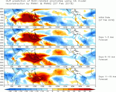
One doesn’t have to look far. The driving force behind the winter of 2017-18 has been the tropics. The complex interplay of La Nina – and at times a hyperactive Madden Julian Oscillation (MJO) – has steered our Arctic blocking, the severe cold outbreak in late December, and the occasional surges of mild air since then. Seems the MJO is really in the mood to move out of the Maritime Continent in the near term. (Note the reddish shading.)

Later on, there are signs that it will again surge out of the Indian Ocean and perturb the jet stream in the upper atmosphere over the Northern Hemisphere.

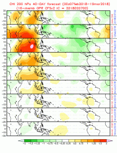
(Again follow the orange shading.) Issue becomes the strength of this forcing. As you can see, the colors fade with time as we push toward March. Granted, the model never shows an intense MJO at those lead times, it also shows multiple centers where the convection could be. This throws the entire forecast in question for time frames that extend into March.
Which also gives us pause in the subseasonal range. Tough to make a call on the return of the cold to the Lower 48, but I still feel that Old Man Winter has another hand to play this winter.
